

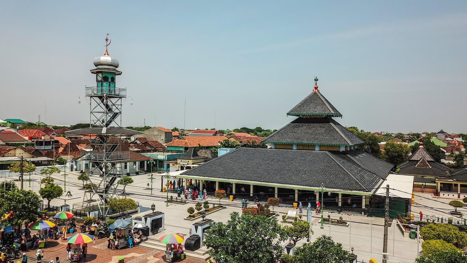
“Demak gained attention at the end of the 15th century as the first Islamic Kingdom in Indonesia.”
That is how history books describe Demak. However, there is another hidden gem in this Kota Wali, that is becoming one of the Spice Routes’ knots.
Since the 14th century, many traders came to visit Demak, for it lay not far from the coast. However, our knowledge is limited to its position as the political center of the first Islamic Kingdom in Java. As a result, its role in the Spice Routes is barely exposed.
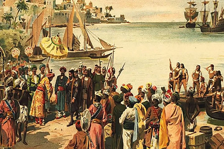
Tomé Pires also wrote that the city was once visited by many foreigners, including Persians, Arabs, Gujarati, Malay, and Chinese. Further, there were numerous Muslims during Pires’ visit to the city. As a result, Demak developed and became one of the wealthiest cities on the north coast of Java (Cortesao 1967).
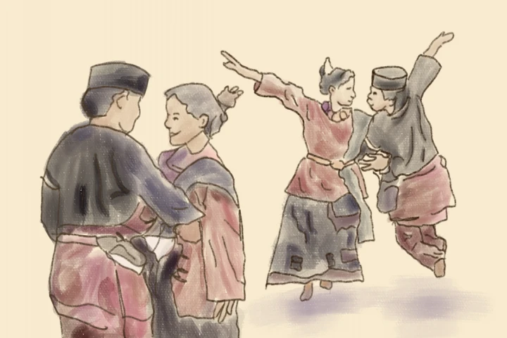
Foreigners who visited the city were primarily merchants. Some of them decided to settle and married the locals. Places of worship, especially mosques, appeared more in Demak. So it was not surprising that Walisongo made this city a place to spread Islam religion.
Further, in history, Islam and Islamic traders were the results of urban civilization. Therefore, it is understandable that the Muslims who came to Demak and other coastal cities of Java were generally traders or ran two activities at once—spreading religion and trading.
As the only royal capital in Central Java located on the coast, Demak was geographically superior. So it triggered people to come, especially Muslims. Besides, when Demak fell apart, the kings of Mataram no longer chose their central government on the coast; instead, they chose the hinterland. As a result, the city of Demak then became stronger on the coast.
There is not much literature about when Demak started to occupy an important place in the trade aspect. A piece of solid evidence of Demak in international trade presumably came from the Majapahit era’s inscription during the reign of Hayam Wuruk. Demak (Dmak) became one out of 33 bases of the cross-water network.
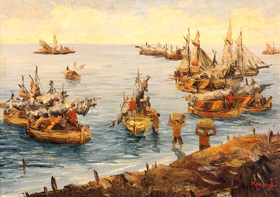
An ancient map shows that Demak became a significant knot in the Spice Routes’ trade traffic. There were cities with red towers; Banten, Daramayo (Indramayu), Dama (Demak), and Japara (Jepara). The map was written in Latin and believed to be a map used by the foreign sailors to trace major port cities, and Demak was one of them.

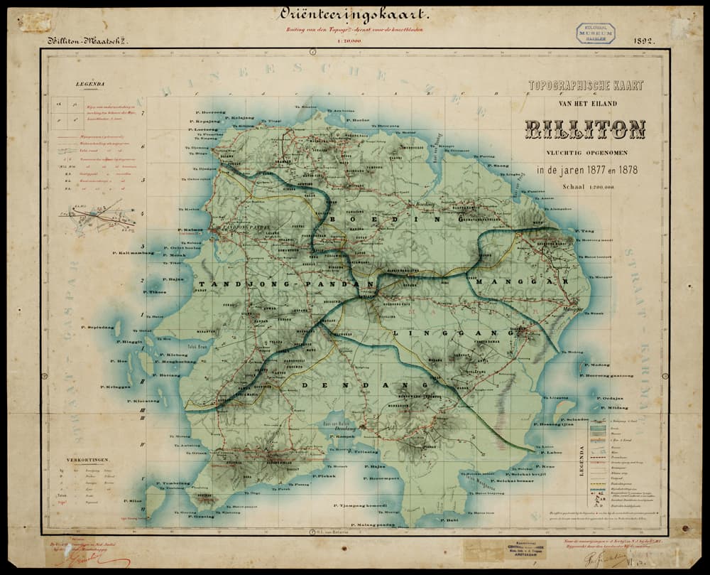
Image 1. The map of Java, published by Johannes Jansson
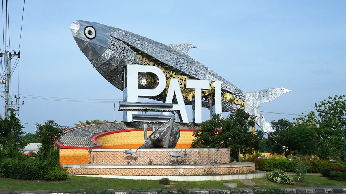
In the 16th century, the city of Demak became a commodity storehouse for the rice trade coming from the surrounding agricultural areas. Its role as the economic center became more significant, especially when Juwana, which was located on the east side, was ruined by the last ruler of Majapahit around 1513. Like Juwana, a port city with Pati as its capital, Jepara was also a port city with Demak as its capital.
According to a story, the cities of Juwana and Pati were parts of Sandang Garba, meaning “king of the merchants”. The term indicated that the cities were once quite significant port cities. Therefore, the downfall of Juwana led to the complete domination of Demak toward the economics of the north coast of Java, especially in the strait, the south part of the Muria Mountains.
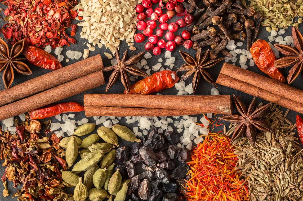
We can find general information about the commodities traded in the city of Demak in Pires’ notes. He said that the leading commodities of the Demak Kingdom’s export were rice and other foods, with Malacca as the leading destination. Unfortunately, there was no further explanation concerning the other foodstuff and stuff imported from other countries. However, in general, the commodities were consumed in large numbers in this country. The goods came from Gujarati, Tamil, China, and Bengala (Cortesao 1967:186).
Pires stated that the Demak Kingdom’s yields surplus was carried to Malacca using Jung and Pangajava ships (Cortesao 1967:186). It is clear that both types of ships were quite big and categorized as boat cargo.
Pires gave slight information about the area and people of Demak in the early 16th century. Demak was bigger than the port cities around it. The city possessed eight to ten thousand houses (Cortesao 1967:184). However, this explanation alone cannot determine the number of people who lived there. If we assume five people lived in every house; then the number would be around 40.000 to 50.000, quite a reasonable amount for Demak at that time (Rahardjo & Ramelan, 1997).
Further, Schrieke traced some information about the area’s condition, the road, and the water systems in Java (1959:97-129). In the Islamic Mataram era, the coastal area was divided by the Serang river (Tedung) that flowed to the sea. The river was located between Demak and Jepara, dividing the coastal area into the eastern and western parts. There was a waterway as a means of traffic from the hinterland to the downstream and vice versa. Meanwhile, many settlements were connected using the land routes. From the direction of the hinterland (Mataram’s area), there was a way to the north coast, heading to the Semarang port (previously, it had been Demak).
In transactions, the Chinese currency was used as a primary means of exchange for the shared values of the exchanged products. Indeed, the exchange rates of goods in one place and another were diverse. However, the currency was generally accepted as a means of payment in the international world.
_________
Sources:
Cortesao, A. (peny.). 1967. The Suma Oriental of Tome Pires. (London: The Hakluyt Society).
de Graaf. H.J. & Pigeaud, T. G. 1986. Kerajaan-kerajaan Islam di Jawa: Peralihan dari Majapahit ke Mataram. (seri Terjemahan). (Jakarta: Grafitipers).
Pigeaud, T. G. 1960. Java in the Fourteenth Century: A Study in Cultural History. The Nagara-Kertagama by Rakawi Prapanca of Majapahit, 1365 AD. (The Hague: Martinus Nijhoff).
Rahardjo, S. & Ramelan W.D. 1997. Kota Demak sebagai Bandar Dagang di Jalur Sutra. (Jakarta: The Directorate General of Culture, the Department of Education and Culture).
Schrieke, B.J.o. 1957. Indonesia Sociological Studies, II: Ruler and Realm in Early Java. (The Hague: Martinus Nijhoff).
Sedyawati, E. 1985. Pengarcaan Genesa Masa Kadiri dan Singasari: Sebuah Tinjauan Sejarah Kesenian. Disertassion. The Department of Literature Universitas Indonesia.
Picture source: https://collectie.wereldculturen.nl/#/query/a10b246b-22d0-4792-b955-faa636e8a606
_________
Text: Endi Aulia Garadian
Editor: Doni Ahmadi
Translator: Dhiani Probhosiwi
Image: Redaksi Jalur Rempah