

The Book Series of Zamrud Khatulistiwa: Kota-kota di Jalur Rempah Pada Era Kejayaan Nusantara The Spice Routes program initiated by the Directorate-General of Culture, the Ministry of Education and Culture in collaboration with various experts composed the Book Series of Zamrud Khatulistiwa: Kota-Kota di Jalur Rempah Pada Era Kejayaan Nusantara . One of them is Sunda Kelapa: Jaringan Perdagangan dan Identitas Kota Jakarta , involving several writers, they are Kartum Setiawan, M.Hum, Ary Sulistyo, M.Si, and Gunawan Wahyu Widodo, M. Hum. The book will explain in detail the role of Sunda Kelapa Harbor that even though had transformed and changed its name several times (Jayakarta, Batavia, and then back to its previous name), still didn’t lose its role as a significant point of Spice Routes in Nusantara and the world in the past. Below is the summary of the book Sunda Kelapa: Jaringan Perdagangan dan Identitas Kota Jakarta.
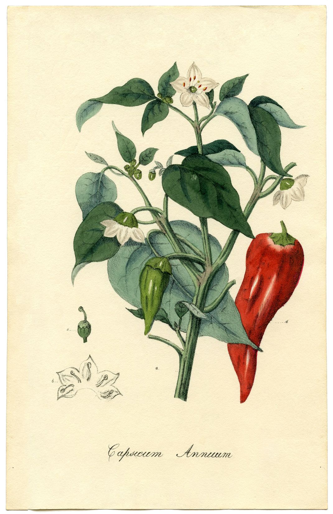
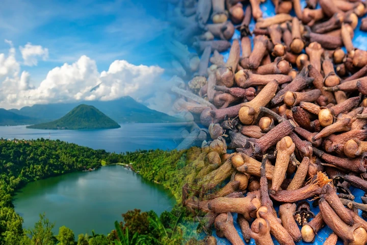
The Book Sunda Kelapa: The Trade Network and Identity of Jakarta Sunda Kelapa Harbor had a significant role in the World Spice Routes. Since the heyday of the Tarumanagara Kingdom to the Dutch East Indies, Sunda Kelapa Harbor played an active role in the spice trades in Nusantara. Ships from Palembang, Tanjungpura, Malacca, Makassar, and Madura, even traders from India, South China, and Ryu Kyu (Japan) came to this port. Pepper, Nutmeg, rice, and gold were exported from this port. Sunda Kelapa Harbor is believed to emerge in the 4th century in the Tarumanagara Kingdom era. The statement is based on the record and Tugu inscription about the excavation of two rivers—Candrabhāga and Gomati. Candrabhāga river was excavated first until the water flowed to the sea, going through the palace of the famous Pūrṇawarman Kingdom. Gomati River was excavated in the 22nd year of the Pūrṇawarman’s reign and completed in 21 days. We can take a look at the Portuguese’s source from Tome Pires’ journey report recorded in his monumental work Suma Oriental. In 1513, Pires arrived on Java Island then went through the north coast of Java and stopped at several ports, including Sunda Kelapa or what is mentioned in his book as Capala. It was the main port of the Sunda Pajajaran Kingdom. At that time, the Hindu-Pajajaran kingdom possessed six seaports: Bamtam (Banten), Pomdam (Pontang), Chegujde (Cigede), Tamgaram (Tangerang), Capala (Kalapa), and Chemano (Cimanuk). Among the six ports, Sunda Kelapa was the main port. Through the port, Pajajaran conducted trade relations with other areas. The main commodities of the Pajajaran Kingdom were commonly food materials and pepper. The port was also known as a bustling pepper exporter port, for pepper became the leading commodity produced by Pajajaran at that time. Every year, they produced around 1.000 bahars with far better quality compared to pepper from Kocin (Southeast Asia). As mentioned before, aside from pepper, there were other commodities, such as tamarind, rice, vegetables, and fruits. Spices were imported from the eastern areas of Nusantara, while peppers were from Banten and Lampung. Further, various livestock also became traded commodities, such as cows, goats, pigs, etc. Another trade commodity in Sunda Kelapa Harbor came in the form of garment, coming from India.
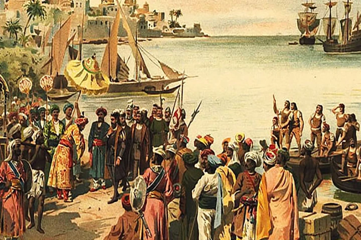
There was an enticing record before the Pajajaran Kingdom was conquered by the Islamic Sultanate of Demak. It was a record possessed by the Portuguese who once came to Sunda Kelapa in 1522, and there was an agreement that the Portuguese would build a fort in Sunda Kelapa, and in return, Sunda Kelapa would receive goods they needed from the Portuguese. Further, the King of Pajajaran would give 1.000 baskets of pepper to the Portuguese as a friendship symbol. At that time, Europeans had an obsession to get to the center of pepper production plantations. Therefore, the Portuguese enthusiastically undertook an agreement with Pajajarn in the hope to dominate the pepper trade in Sunda Kelapa Harbor. The agreement between the Portuguese and Pajajaran became the first international relationship between the kingdoms of Nusantara with Europe. Unfortunately, the continuity of the agreement did not benefit both Portuguese and Pajajaran, for the combined army of Demak and Cirebon managed to conquer Sunda Kelapa. The position of the port in the Ciliwung estuary that was profitable for both local and international trades led them to be contested. In 1527, Sunda Kelapa Harbor was conquered by Demak and Cirebon Kingdoms. The conquest of the Sunda Kelapa area became the beginning of the disappearance of Pajajaran’s influence in the Nusantara trade. The port city that was just conquered by Sultan Fatahillah then changed its name into Jayakarta, meaning the complete victory. It was the new chapter that led Sunda Kelapa to change its name into Jayakarta Port. Being aware of the importance of Sunda Kelapa Harbor, the city of Jayakarta was established on the west bank of Ciliwung River or in the south of the port. It was different from the previous reign that was far in the hinterland. Jayakarta had a reputation as a city of supplies, where the ships could dock at a nice port with clean water flow, lots of woods to repair ships, and arracks produced by the Chinese who lived in Jayakarta.
Jayakarta Port began to develop when the Dutch traders stopped at Jayakarta Port. Through an agreement on 13 November 1610 signed by the representative of VOC Jacques L’Hermite, they were given a place to trade and build a storehouse. The location of the lodge given by Jayakarta was located in the east of Ciliwung. In the beginning, the agreement worked well, but as time went by, VOC did not only trade but also started to build a bastion that led to something we already knew. The battle between Jayakarta and VOC on 30 May 1619 was won by the Dutch, Jan Pieterszoon Coen managed to destroy the city of Jayakarta after the reign of Prince Jayakarta was paralyzed because of a conflict designed by VOC and Banten Sultanate. The new chapter of life in the Jayakarta area began when VOC established a new city named Batavia. The area of Batavia transformed into a significant factor in one hegemony of power. At that time, Jayakarta port changed its name to Batavia Port. The square fortress construction in Batavia was the beginning of VOC’s existence in Nusantara.
For centuries, Batavia grew and the trade city in the Batavia Port became the center of international trade. During the VOC era, the role of Batavia Port became more significant, for VOC did not only build a fortress and storehouse but also connected them to the port by constructing a ditch and canal that flowed by the Ciliwung River. The purpose was to fulfill the needs of people in the city. Besides, the construction of the canal functioned as a route of transportation and according to the urban planning, the canals would present an environmental nuance similar to the native land of the Dutch in the lowland. The Dutch merchants occupied strategic places. It could be seen from the ports and central trade of VOC in Batavia. The role of Batavia Port was improved, including all the facilities, such as serving the Harbormaster who was in charge to collect customs duty. Through the Harbormaster, the number of commodities that came in and out of the port was known in detail. It was done as a supervisory action toward the commodities which came in and out of the Batavia Port. The note of the Harbormaster was routinely reported to the Netherlands. Further, they also built VOC machine shops to repair ships. Eventually, VOC dominated Nusantara trade, with the strategic location of Batavia Port protected by Jakarta Bay (Batavia), consisting of islands in the Thousand Islands, and the ships that could dock calmly and safely. Further, by dint of the location in the Ciliwung estuary, the shipping and trading relationship with the hinterland was facilitated. The geographical location and maritime traffic of Batavia Port led it to grow even more.
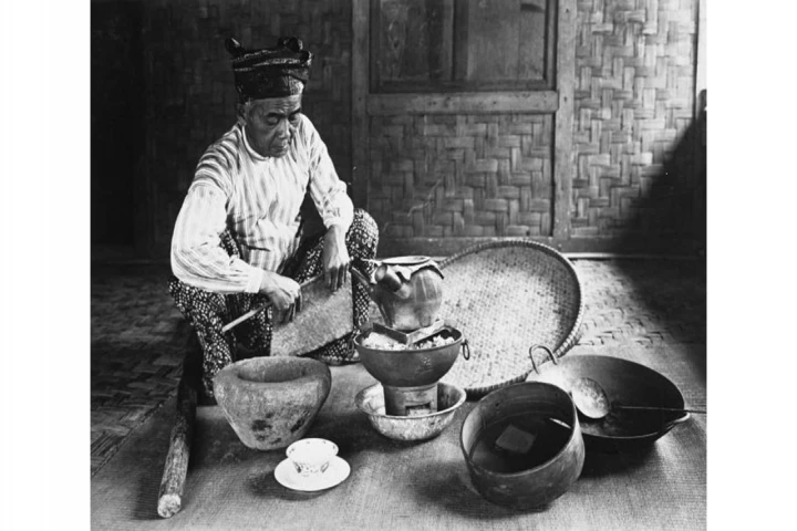
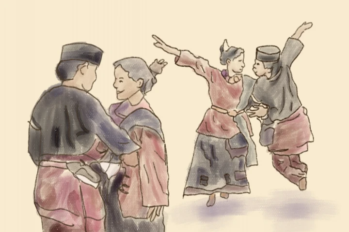
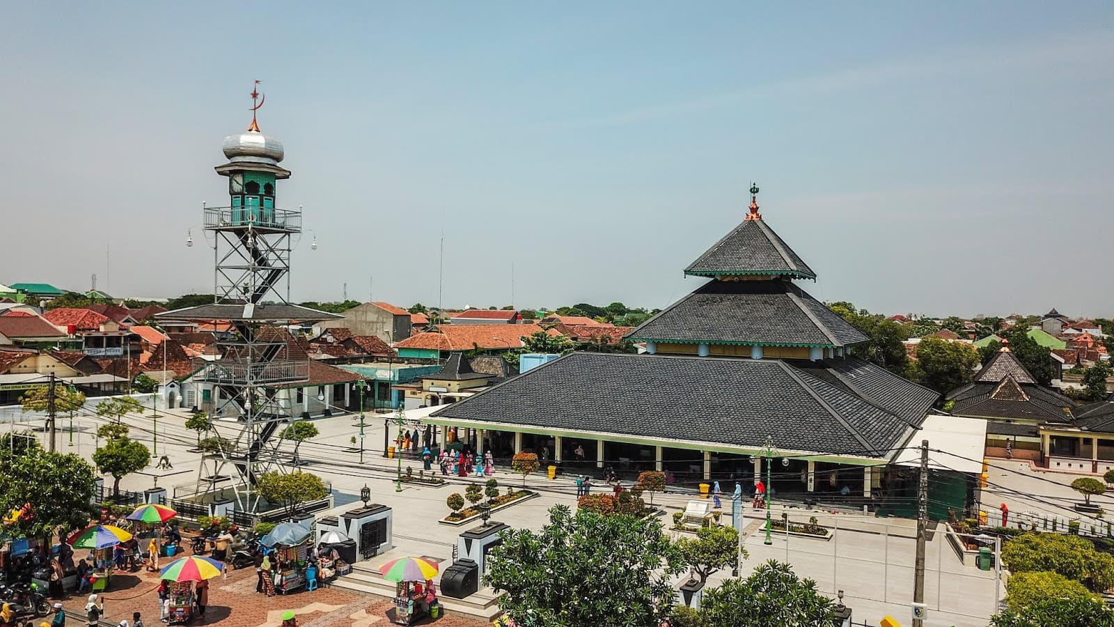
Various commodities and spices that had high values in the world trade market were traded in Batavia Port. Today, we can still feel the trade activity when we visit Sunda Kelapa Harbor with the spice warehouse complex that has switched its function. Sunda Kelapa Harbor which still exists in the suburb area of Jakarta becomes a port that possesses a historical value not only to the people of Jakarta but also for Indonesians. Various tribes who moored their ships and lived around the port played significant roles in the process of forming culture. Both traders from Nusantara and abroad did not only trade spices but also other commodities along with the cultural values, beliefs, architectural patterns, and many more things that they brought from the native lands.
The book Sunda Kelapa: Jaringan Perdagangan dan Identitas Kota Jakarta was summarized by M. Atqa. It will be available online by downloading it free click here.
_________
Text: M. Atqa
Editor: Doni Ahmadi
Translator: Dhiani Probhosiwi
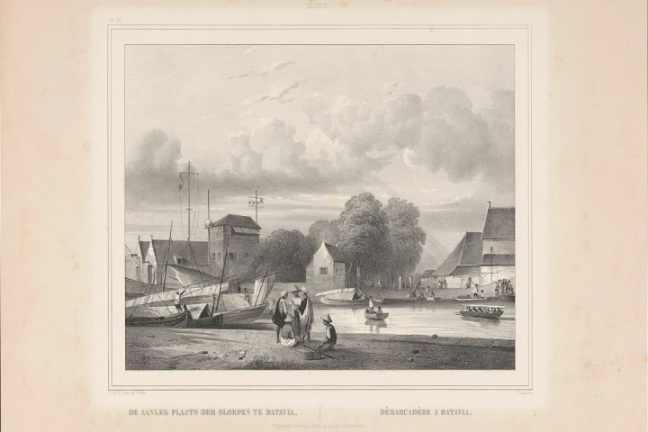
Image: Mooring place for sloops in Batavia, Paulus Lauters, after Charles William Meredith van de Velde, 1843-1845 / Rijksmuseum.